

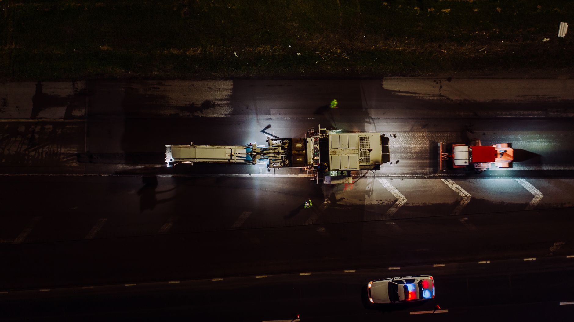
A medium-sized UK airport has used XenomatiX’s 6D Road Scanning to survey 120km of runways, taxiways, service roads and car parks, building a single digital twin of its pavement network to flag defects and foreign object debris before they turn into safety incidents or maintenance bills.
The airport’s innovation team ran the validation project as part of a wider pavement scanning and operational programme, according to Airport Industry-News, which reported the announcement on 22 September 2026. XenomatiX, a Belgian sensor and mapping specialist, combines high-precision LiDAR, camera, GNSS and AI in a single vehicle-mounted system rather than deploying separate tools for pavement condition, rutting and object detection.
The airport has not disclosed which site it is, nor what the survey cost or how long the 120km run took to capture. That is a gap for readers trying to size the business case: without a published figure for this project, any airport considering the same route will need to get its own quote from XenomatiX rather than benchmark against this deployment.
What the system actually measures
6D Road Scanning generates standard pavement condition indicators, including PCI, rutting and IRI, and maps individual defects to ASTM D5340, the recognised standard for airport pavement condition assessment. Every defect is tied to a precise location, so maintenance, airside operations and asset management teams work from the same dataset rather than separate surveys.
The project also tested foreign object debris detection, using the same capture run to flag objects or surface anomalies that present an operational risk. That dual use, pavement condition and FOD in one pass, is the commercial argument: one survey vehicle replaces what might otherwise be separate pavement inspection and FOD detection contracts.
Who this helps, and who it does not
The pitch suits medium-hub airports without the in-house pavement management systems that larger hubs already run, and it sits alongside a wider push toward continuous airfield monitoring that ACI World addressed directly in its runway overrun guidance for airport boards. It also complements ground-based surveillance investment such as the FAA‘s rollout, which has now passed 100 surface surveillance installs with 44 more due by year end, though that programme covers movement detection rather than pavement condition.
Airports that have already invested in a digital operations platform, such as the Veovo platform now running at Montreal-Trudeau, will want to know whether 6D Road Scanning data feeds into existing systems or sits as a standalone dataset. That integration question is unanswered in the source material and is worth raising directly with the vendor before committing budget. Apron-side tenders are increasingly asking the same question of connected sensor panels, as seen in Synaptic Aviation’s addition to the FTE Global smart apron panel.
For a head of asset management or airside operations reading this, the takeaway is straightforward: 6D Road Scanning is worth a shortlist conversation if pavement inspection and FOD detection currently run as separate contracts, but ask for a cost per kilometre and a data-integration answer before scoping a trial of your own.